
Signage
Many outdoors experiences are enhanced by signage and interpretations. These help add context to the experience, and can also hold useful information, like track distance, walking time or a map.
Track timings and distance
Photograph and take note of the estimated time on the signage compare with the the time it takes you to profile. That will reflect the true range. If there’s limited info, mark as orange.
Read sign for features to highlight
There may be a range of environmental or historic features about the location to be aware of. These can be captured as features later.
Map, rules & directions
Photograph other interpretations, directions and maps during your profiling. Capture and document any track rules, like no dogs or cycling.
What to look out for
Signs often highlight an entry or exit of a crossroad. Take note of these on your printed map.
Official names of tracks.
Any other contextual information, such as warnings, areas of historic significance or additional track information.
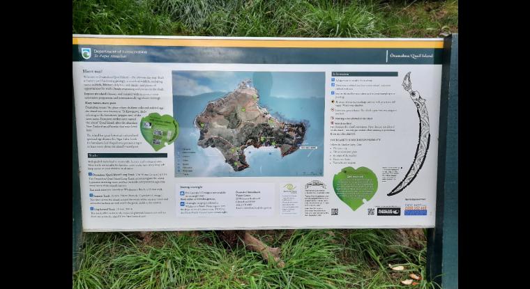
Overview of the Quail Island reserve and some of its features.
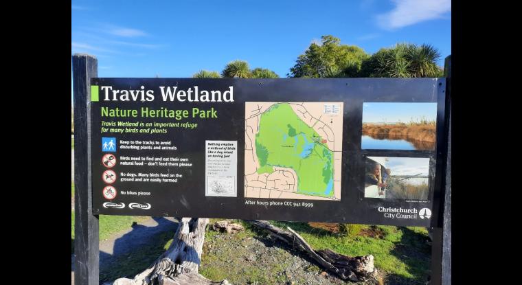
Sign highlights restrictions, including dogs and provides an overview map.