
Public Map
The public map is now live!
What is the Public Map?
The Public Map is the place where we display all tracks and experiences that have been moderated, signed-off and 'made public'.
The purpose of the map is to provide an overview of all tracks have been profiled for accessibility allowing the public to search and review possible experiences in their region.
To view the Public Map, click here
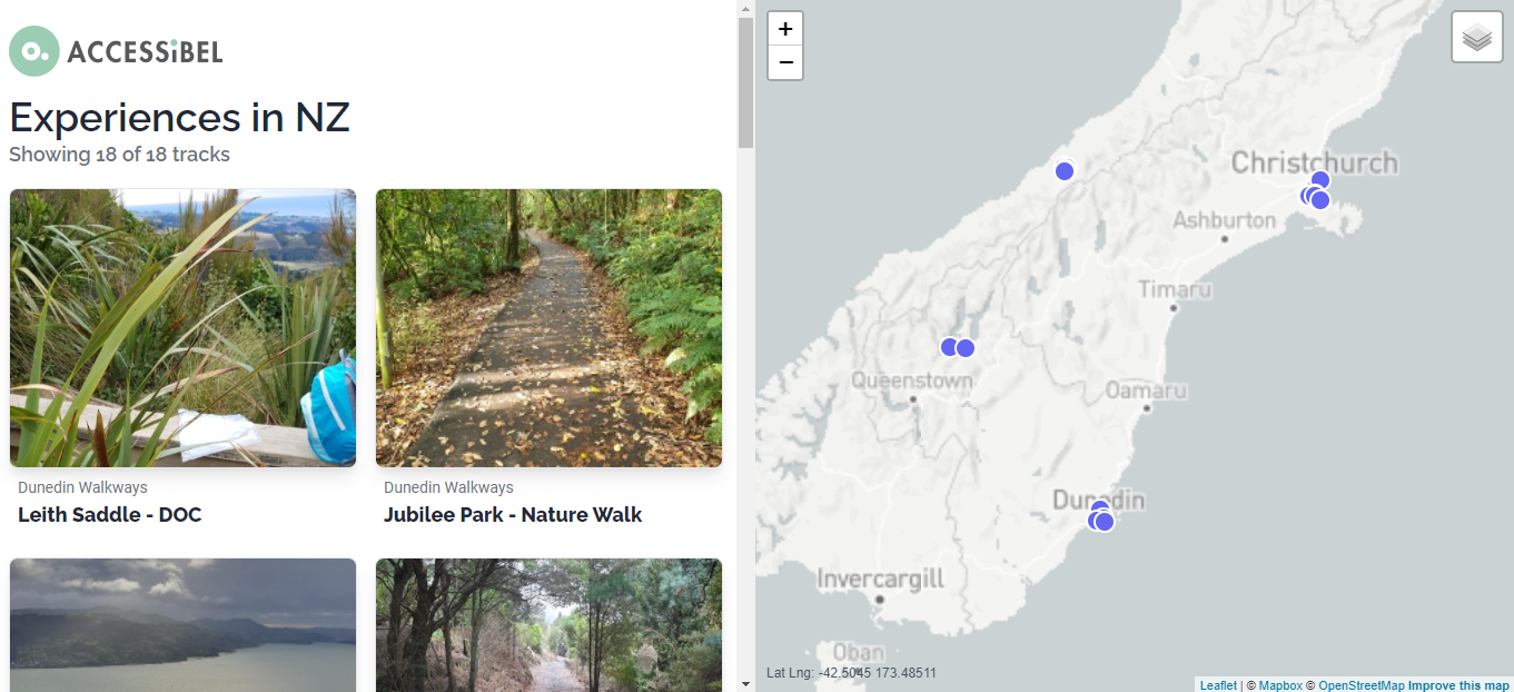
What does the map show?
Our goal is to present outdoor experiences in a way that encourages everyone to give them a go. We want to expand awareness of local opportunities and invite people to contribute their own experience.
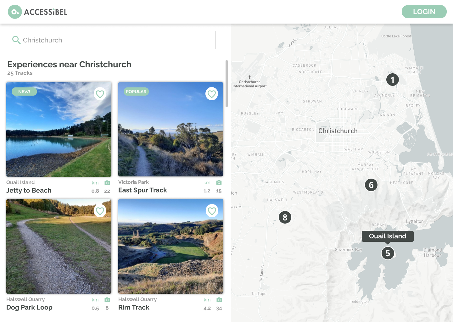
Display a range of experiences close to you.
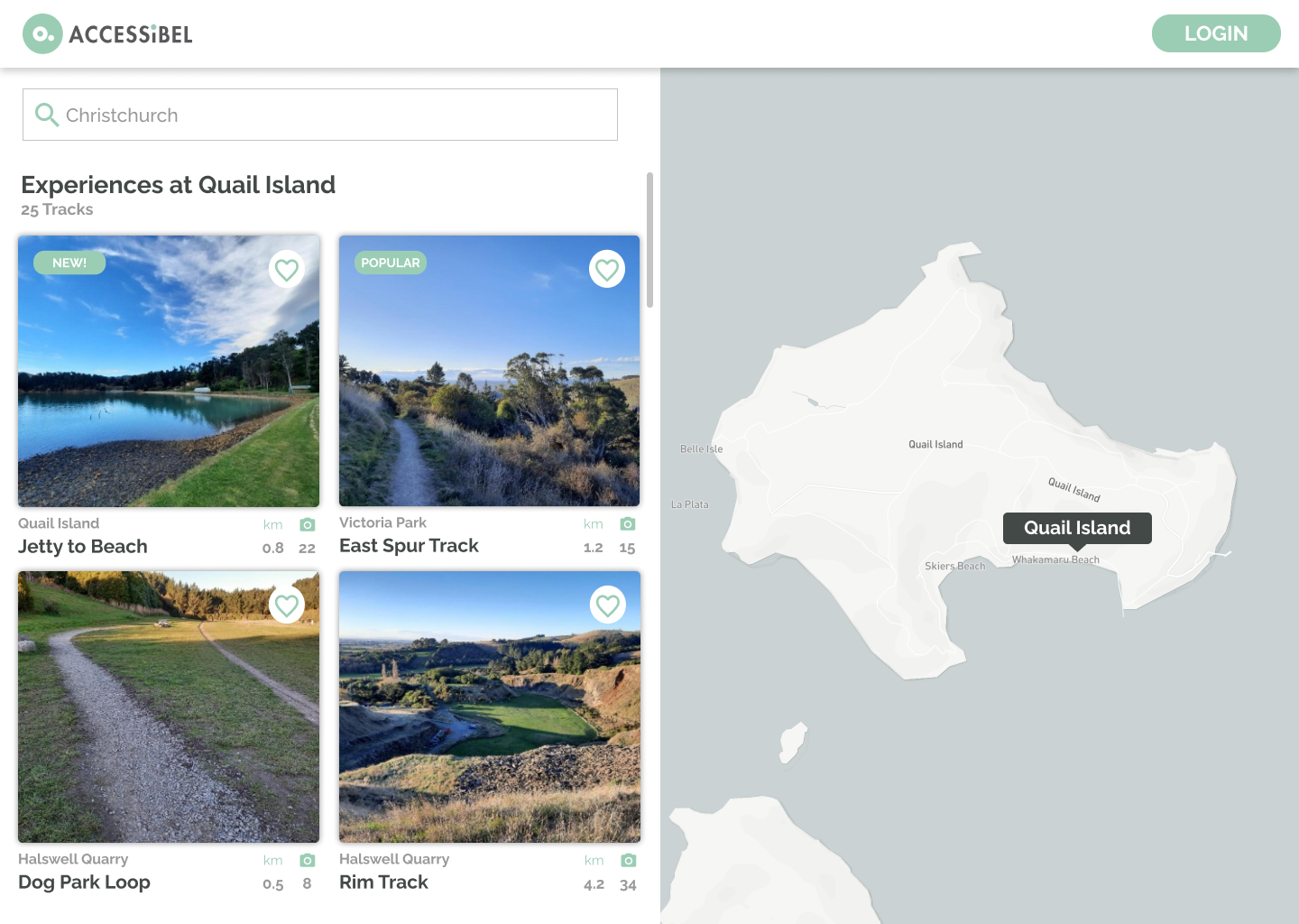
Highlight the opportunities within a reserve.
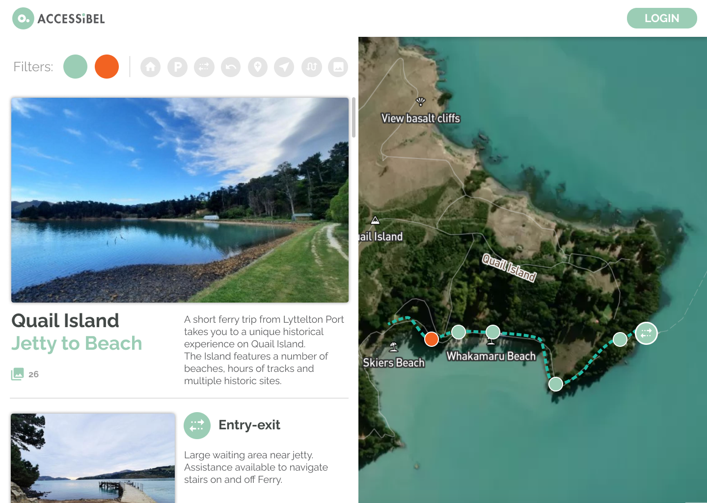
Provide a visual profile of a track.